Atlas Waterfront Site Photos
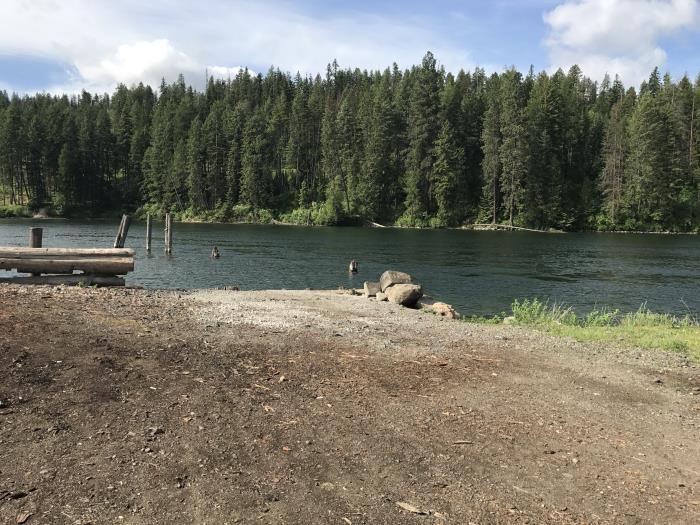
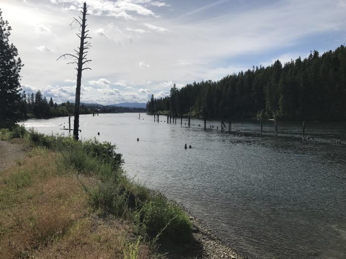
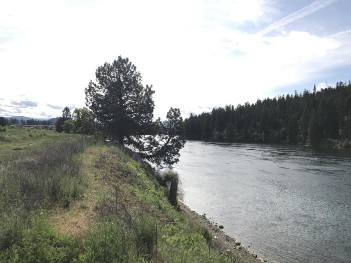
Looking south to the Spokane River near the eastern edge of the full Atlas Mill site property.
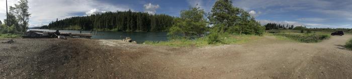
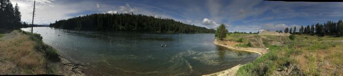
Panorama view looking south to the Spokane River near the eastern edge of the full Atlas Mill site property.
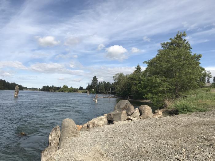
At the eastern portion of the property water's edge, looking west along the Spokane River bank.
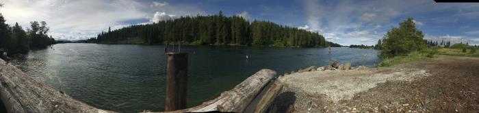
A panorama from the eastern portion of the property looking south along the Spokane River.
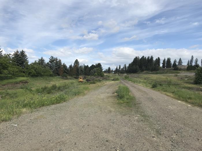
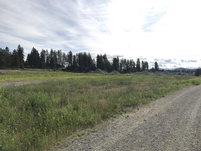
A dirt road in the southern portion of the property, close to the river, looking west. View is still from the eastern edge of the full property.
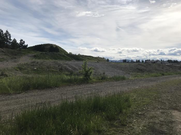
Closer to the mid-way point of the property, looking more northeast from near the water's edge.
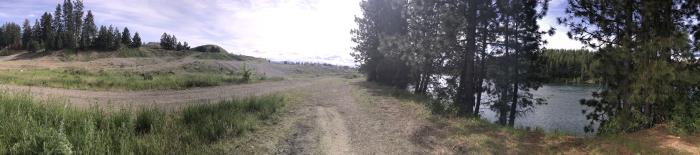
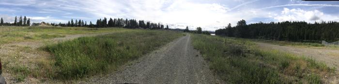
A panorama looking north-northeast from the midway point of the property near the water's edge.
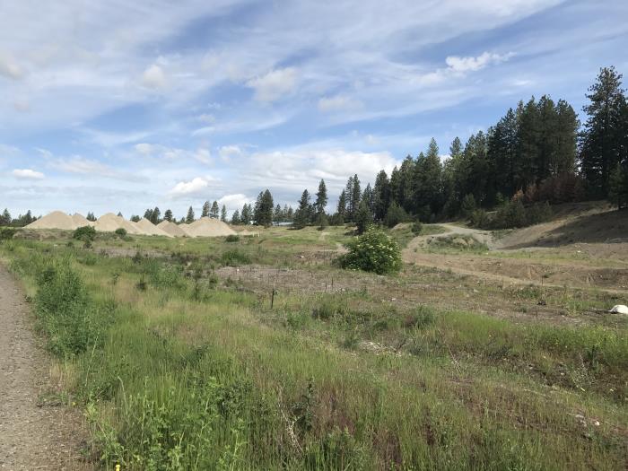
Near the mid-way point of the property, near the water on the dirt road, looking northwest.
Near the mid-way point of the property looking toward the east along the Spokane River.
A panorama near the mid-way point of the property looking at the Spokane River (yellow swirl in water thanks to our tree pollen season).
Getting closer to western edge of property, looking northeast from the dirt road that runs along the southern portion of the property closer to the water.
A panorama from closer to the western edge of the property looking east from the dirt road that runs along the southern portion of the property closer to the water.
From the very southwest edge of the property at the water's edge, looking east-southeast at the Spokane River.
City of Coeur d'Alene
710 E. Mullan Ave
Coeur d'Alene, ID 83814
Phone: 208.769.2300
8:00am - 5:00pm
Monday - Friday
©2026 All rights reserved
Privacy Policy
710 E. Mullan Ave
Coeur d'Alene, ID 83814
Phone: 208.769.2300
8:00am - 5:00pm
Monday - Friday
After Hours Emergency:
Water: 208-755-9729
Sewer: 208-769-2241
©2026 All rights reserved
Privacy Policy


